 |
|


|
|
Laboratory
 |
|
The laboratory has
in- and outdoor mea-surement pools with the real and synthetic
grounds (soil with well-known parameters). It is equiped with:
-
container with synthetic ground
,
-
movable absorbers,
-
antennae positioning system,
-
ultra-broadband antennae set ,
-
four different kind of GPR systems,
-
advanced measurement equippment
-
set of specific targets (e.g.
mine surrogates).
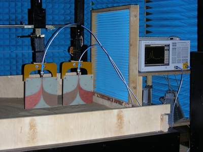
The photo on the left shows a fragment
of chamber with electromagnetics echoes reduction. |
|
| |
|
|
|
|
 |
|
 |
|
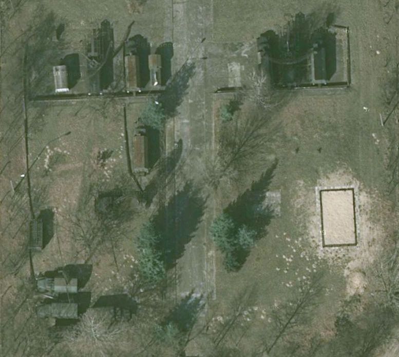
Outdoor field
(satellite view - GoogleEarth)
lat = 52º 14´ 55,45´´
lon = 20º 54´19,16´´
lat = 52º 14´ 55,18´´
lon = 20º 54´19,52´´ |
| |
|
|
|
|
 |
|
 |
|
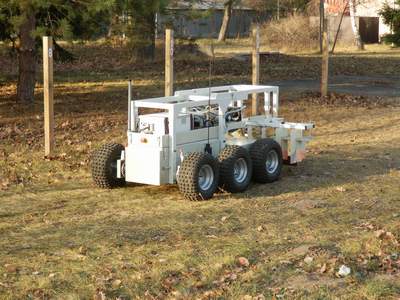
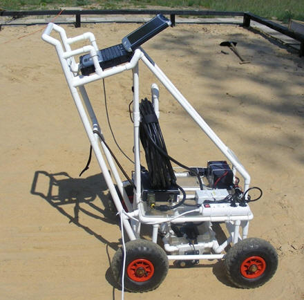
Remote GPR "Habub"
during outdoor field scanning.
|
| |
|
|
|
|
 |
|
 |
|
Own
GPR driving and imaging software
|
| |
|
|
|
|
 |
|
 |
|
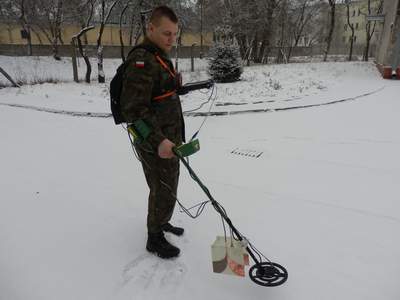
Handheld GPR-metal detector system
|
| |
|
|
|
|
 |
|
 |
|
Impulse GPR unit
|
| |
|
|
|
|
 |
|
 |
|
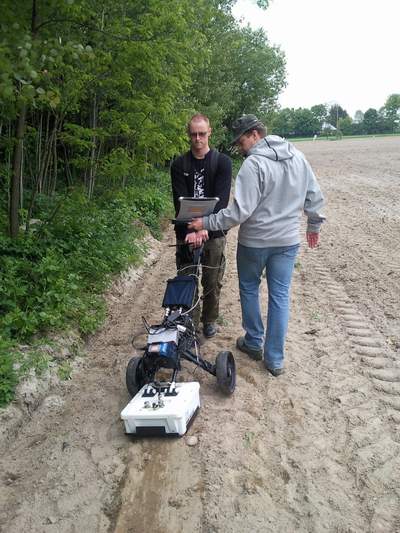
Field archeology measurement using IDS GPR |
| |
|
|
|
|